Data presently available: BAS Ice thickness measurements April 2011
In support of a planned drilling campaign on the floating portion of Pine Island Glacier, West Antarctica, two detailed grids of ice-penetrating radar were acquired during airborne sorties in January, 2011. The data presented here is from one of these flights (Flight C37), acquired to allow detailed site selection of optimum drill-sites. The ice thickness data acquired during a single flight lasting less than five hours means that they provide a snapshot of the structure of the ice shelf of unprecedented clarity.
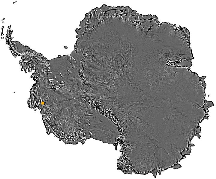
Orange: Pine Island Glacier Flight Lines location
The 2011 data were acquired on a grid comprising 30 transverse lines across the glacier, each around 20 km long, and with a spacing of roughly 500 m between the lines. The orientation of the lines was chosen to be perpendicular to the surface features visible in satellite images in the central part of the ice shelf. Elevation of the ice-surface directly beneath the aircraft was simultaneously measured using the nadir-pointing laser altimeter.
![]()
![]()