During the 2010/2011 Antarctic field season a collaborative NERC AFI (Antarctic Funding Initiative) project studying the basal boundary conditions of the Institute & Möller ice streams, West Antarctica, collected ~25,000 km of new high quality aerogeophysical data.
View Field Report
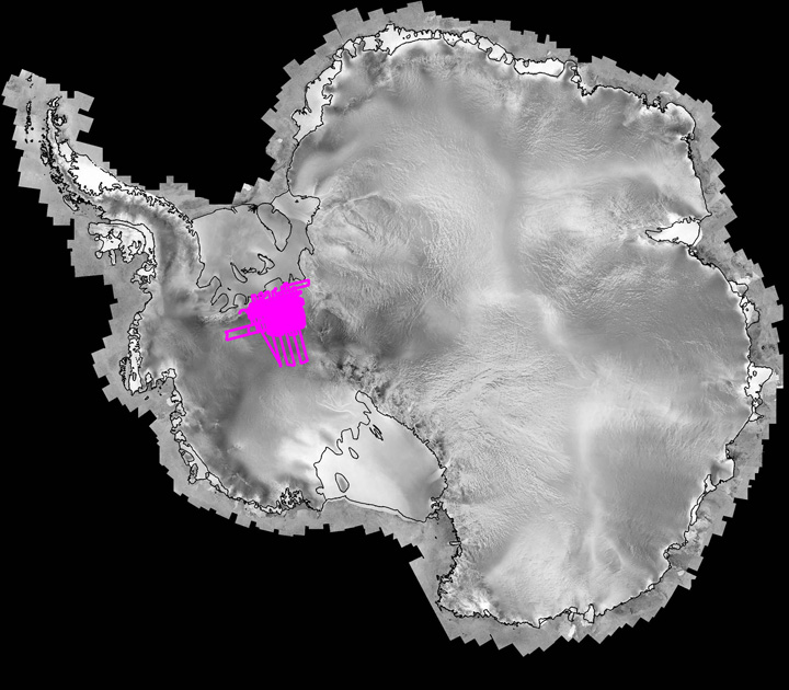
Magenta: Flight Lines location
Data coverage extended from the grounding lines to the ice divide, with a high resolution grid centered over the region of most pronounced ice flow acceleration.
Data was collected using the BAS aerogeophysical equipped Twin Otter aircraft. Data collected included ice-sounding radar, laser ranging, airborne gravity and airborne magnetics.
Note the ice thickness over regions of thinner ice was independently picked a second time with different processing parameters. This additional ice thickness data is also available.
![]()
![]()