Data presently available: BAS Ice thickness measurements September 2011
During the International Polar Year 2007–2009,the seven-nation Antarctica’s Gamburtsev Province (AGAP) expedition acquired a detailed image of the ice sheet bed, deep in the interior of East Antarctica. Airborne geophysical methods were used to understand the fundamental structure shrouded beneath Dome A.
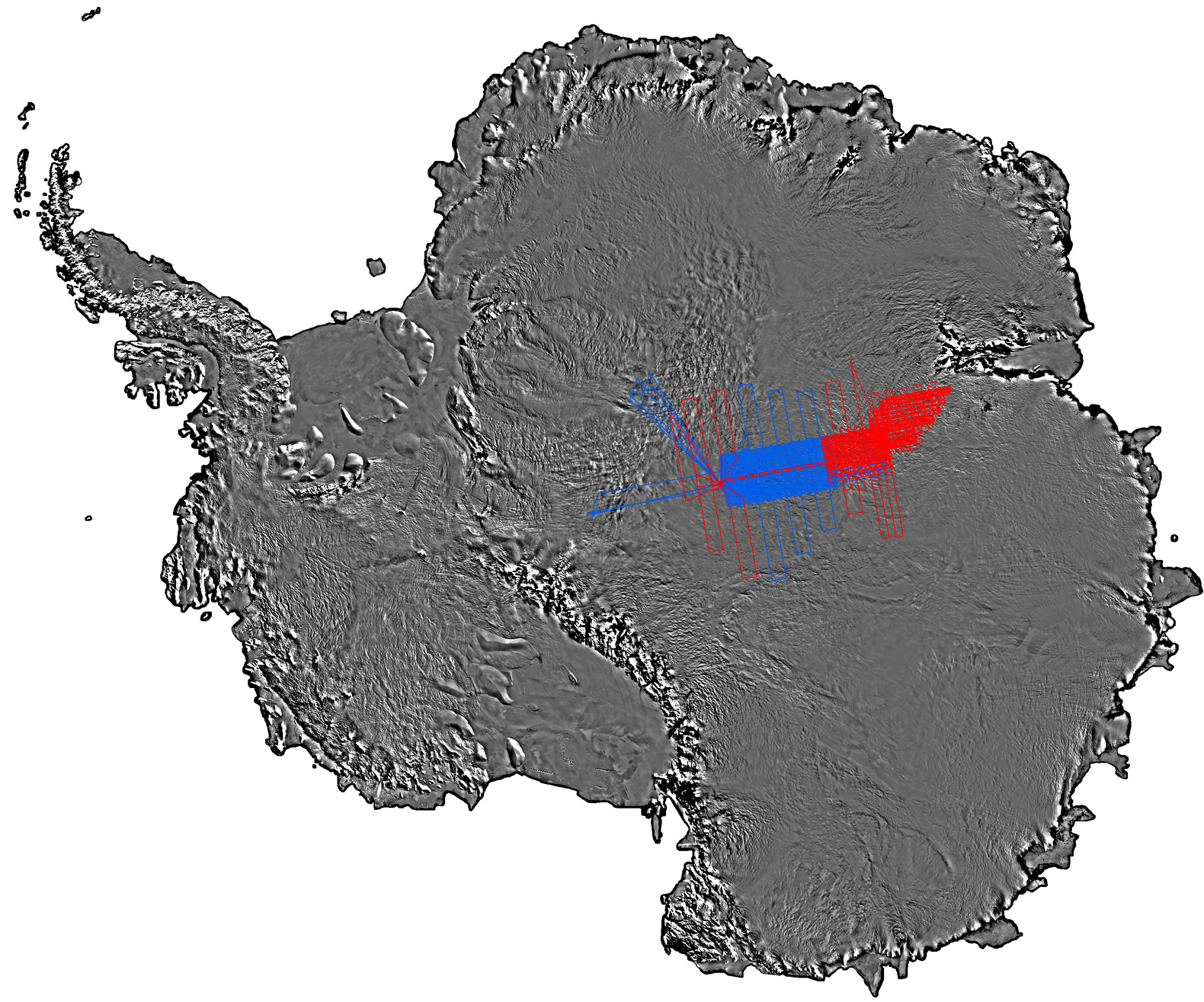
Red: BAS Flight Lines, Blue: USAP Flight Lines
Two Twin Otter aircraft, (one BAS, one USAP) equipped with ice-sounding radars, laser ranging systems, gravity meters, and magnetometers, operated from camps located on either side of Dome A.
In total, 120,000 line km of data were acquired from a nested survey grid with line spacing of 5 km and tie lines ~33 km apart. The area encompassed by the survey was over 1,220,000 km2; approximately 15 times the size of Scotland.
![]()
![]()